Janakpur Zone (Janakpur Zone)
The headquarters of Janakpur Zone and its main city was Janakpur. Close to the Indian border, it is a historic city of Hinduism. The city is believed to have been the capital city of King Janaka, the father-in-law of Lord Rama, the son of the then king of Ayodhya, Dasharatha. The city was then called 'Mithila Nagari'. The name of Janakpur zone is related to the historic King Janaka and his capital Janakpur.
Other cities within Janakpur Zone are Kamalamai (in Inner Terai) and Bhimeshwor and Bardibas, Dhalkebar, Jaleshwor, Malangwa, Hariwan, Lalbandi, Gaushala Bazar and Matihani (Outer Terai).
Janakpur was divided into six districts; since 2015 the three northern districts have been redesignated as part of Bagmati Province, while the three southern districts have been redesignated as part of Province No. 2.
Map - Janakpur Zone (Janakpur Zone)
Map


Country - Nepal
 |
 |
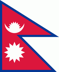
| Flag of Nepal | |
The name "Nepal" is first recorded in texts from the Vedic period of the Indian subcontinent, the era in ancient Nepal when Hinduism was founded, the predominant religion of the country. In the middle of the first millennium BC, Gautama Buddha, the founder of Buddhism, was born in Lumbini in southern Nepal. Parts of northern Nepal were intertwined with the culture of Tibet. The centrally located Kathmandu Valley is intertwined with the culture of Indo-Aryans, and was the seat of the prosperous Newar confederacy known as Nepal Mandala. The Himalayan branch of the ancient Silk Road was dominated by the valley's traders. The cosmopolitan region developed distinct traditional art and architecture. By the 18th century, the Gorkha Kingdom achieved the unification of Nepal. The Shah dynasty established the Kingdom of Nepal and later formed an alliance with the British Empire, under its Rana dynasty of premiers. The country was never colonised but served as a buffer state between Imperial China and British India. Parliamentary democracy was introduced in 1951 but was twice suspended by Nepalese monarchs, in 1960 and 2005. The Nepalese Civil War in the 1990s and early 2000s resulted in the establishment of a secular republic in 2008, ending the world's last Hindu monarchy.
Currency / Language
| ISO | Currency | Symbol | Significant figures |
|---|---|---|---|
| NPR | Nepalese rupee | ₨ | 2 |
| ISO | Language |
|---|---|
| EN | English language |
| NE | Nepali language |